“Mapping Essentials” is an intense 2-day program for students and professionals alike. This program aims to equip the participants with the essentials of mapping, offering insights and hands-on exposure to working with key free-and-open-source mapping application, the QGIS. The program equips learners to appreciate the key concepts, enabling them to quickly learn, test and apply the techniques in their respective domains and eventually be able to produce maps for their own needs.
Brief Session Details:
- Session 1: Basics of Mapping
- Session 2: Working with QGIS: Overview and Installation
- Session 3: Working with Open Data and gathering data with mobile devices/handhelds
- Session 4: Bringing the data together and sourcing them from different repositories
- Session 5: Making sense of the data: Basic analysis
- Session 6: Presenting maps: Map compositions, web GIS and mash-ups
Tool exposed: QGIS
The main aim of this course is to equip the learners to compose maps with the help of free and open source solution. The course attempts to explain the techniques and standards for distribution of geographical data, concepts of coordinates, projection system and so on. The practical sessions concentrate on the process for creating data, maps and with the help of popular desktop and web-based GIS application like QGIS besides accessing data from OpenStreetMap. Eventually, the participants would be able to produce maps for their own needs.
Key Takeaways: The course will equip learners to translate their raw data into maps, by enabling them to learn, test and apply the necessary mapping techniques that are the key to a better understanding of data and ground situations. On completing this course, participants will:
- Appreciate key concepts, understand the spatial data requirements.
- Be familiar with a range of techniques to gather field data (including traditional methods, as well as satellite navigation systems like GPS and related technologies).
- Be able to test and apply the techniques in their respective domains.
- Eventually, produce maps for their own needs.
Course Format: The short course enables participants to have hands-on experience with the software and datasets, followed by a demo at every step. The teaching process comprises interactive lectures, classroom exercises, the collection of primary data from the field and practical training and tasks. Participants are required to participate fully in all of the above activities. Certificates will only be awarded to participants who complete all course requirements.
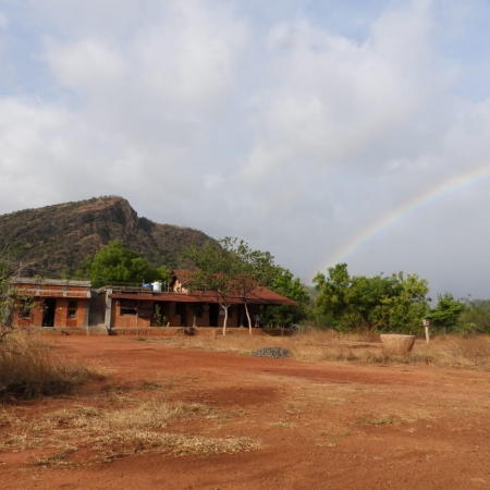
Place: Bengaluru, Karnataka
Session Details:
Session 1: Introduction to GIS & Mapping – The session details with understanding map related concepts like scale, map projection, coordinates, raster data type, vector data type, database management.
Session 2: Overview of free and open source mapping applications and plugins – The session deals with introducing the learners to the free and open source mapping application – QGIS, which can be used for mapping and create map output.
Session 3: Data Collection, Preparation, and Management – The session will expose the learner to satellite-based navigation (popularly known as GPS) and collecting data on GPS. It will involve practical outdoor activity by gathering data on GPS/data logger, there will be a hands-on session on translating data gathered from GPS to QGIS, create data and prepare them in such a way that is amenable to most popular GIS data format and link them to the geometry file. Finally, the learner will be exposed to different map composers for such data.
Session 4: Data Analysis and 3D mapping – This session deals with analysing data using various geoprocessing tools to create buffer, clip data, etc extracting contours, generating heat map, creating 3D maps etc.
Session 5: Working with OpenStreetMap & Web mapping – The session will give an introduction to OSM movement. Downloading the data from OSM and also adding data to OSM by working with tools like JOSM/QGIS.
Participants are highly encouraged that they bring their own laptop.
Eligibility: This program is open to participants from any domain and not limited to engineering, sciences, ecology, and social sciences. Participation is limited to 20 members.
Important Dates:
Registration deadline: 20 February 2020.
The course will be held on 22 - 23 February 2020.
Charges: ₹ 6,999 per participant. Charges include study material and food with refreshments on both days. Travel to and fro has to be borne by the participants. Students are eligible for a concession of up to ₹ 1,000.
Course Instructors: Sudhira HS, Priyadarshini Shetty, and Shashikala Gowda
Registration: Interested participants are encouraged to register here.
For more details, please contact: courses@gubbilabs.in