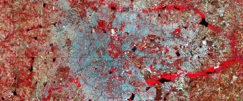
We are pleased to announce an intense two-day program that offers the essential insights into the science of remote sensing. The program provides a hands-on exposure to using free and open source geospatial software and accessing publicly available datasets. It will include right from installing the requisite software to accessing the (free) satellite data, processing, perform classification and composing land cover maps. This can apply to a wide range of studies from landscape ecology / land-use land cover change studies to studies monitoring urban growth. The program is aimed at students, researchers, and practitioners who would want to make use of the (now) abundant satellite remote sensing data for their needs.
Place: Bengaluru, Karnataka.
Session Details:
Session 1: Appreciating the Science of Remote Sensing
Session 2: Getting started with QGIS: Overview and Installation | Accessing Datasets from Relevant Sources
Session 3: Working with Satellite Remote Sensing Datasets
Session 4: Image Classification: Supervised and Unsupervised
Session 5: Estimating NDVI and Accuracy Assessment
Session 6: Presenting maps: Map composition
Participants are highly encouraged that they bring their own laptop and any location (GPS/GLONASS) enabled smartphone for the course.
Eligibility: This program is open to participants from any domain and not limited to engineering, sciences, ecology and social sciences. Participation is limited to 20 applicants.
Important Dates:
Application deadline: 31 March 2020.
The course will be held on 18 - 19 April 2020.
Charges: Rs. 8,999 per participant. Charges include study material and food with refreshments on both days. Travel to and fro has to be borne by the participants.
A student discount of Rs.1,000/-. Contact us, if you are a student!
Course Instructors: Sudhira HS, Priyadarshini Shetty, and Shashikala Gowda
Application: Interested participants are encouraged to register here.
For more details, please contact: courses@gubbilabs.in.
